Space Powered Monitoring
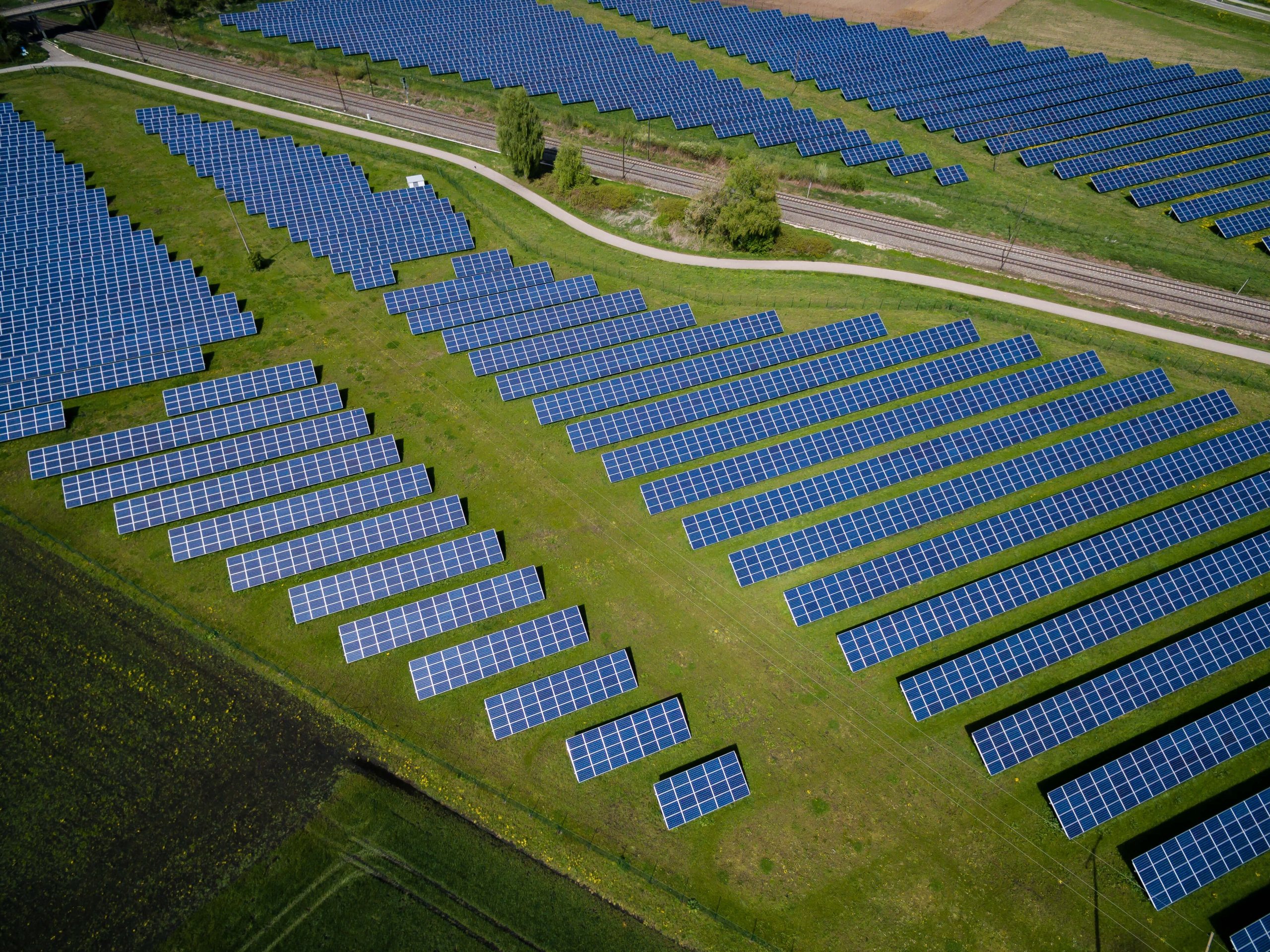
Terramonitor is a tool that helps you to see what is changing in the areas in your interest – anywhere in the world. We utilise AI by combining Big data sources and latest satellite imagery. Results are integrated using visual mapping protocols or via data API. Our technology is used to monitor new buildings, construction sites or changes in land use. We can track all that and more.

Manage, detect and monitor
Always have an up-to-date view of your area, no matter where you are. With a constantly updating view, you can monitor new changes in your area.

Smart decisions based on up-to-date satellite data
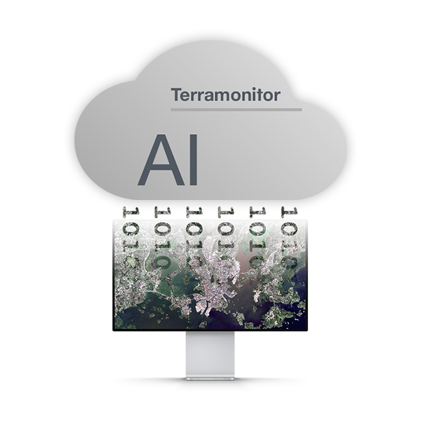
Our technology is based on the satellite data processing chains, automatic image scanning and multi-source data merging.

Built for GIS People
We enable you to enrich your existing systems and business decision making processes. Our service is always open to integrate through an API for any GIS system.
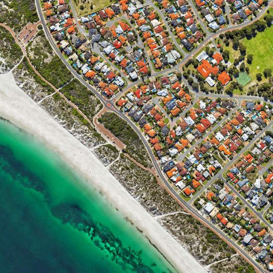
Observe any area
Always have an up-to-date view of your area, no matter where you are. With a constantly updating view, you can monitor new changes in your area. Additional vegetation and false colour maps allow you to analyse status and development of the area.
Leave the guesswork on the ground
Our technology is based on the satellite data processing chains, automatic image scanning and multi-source data merging. As a result of this data process, we create new information to support your decisions and processes.
Open API
Terramonitor is designed and built by curious GIS People for professional GIS People. We enable you to enrich your existing systems and business decision making processes. Our service is always open to integrate through an API for any GIS system.